| 番号 | マップタイプ名 | ID | タイル情報 | タイルサンプル | タスク例 |
|---|---|---|---|---|---|
| 1 | Geoportal Sachsenatlas - aerial imagery (Germany) | 1888 | tile format: jpg zoom level:9-20 tile size: 256 |
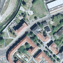 |
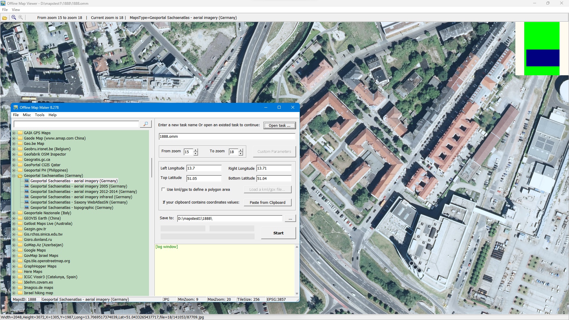 |
| 2 | Geoportal Sachsenatlas - aerial imagery 2005 (Germany) | 1889 | tile format: jpg zoom level:9-20 tile size: 256 |
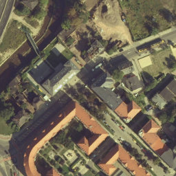 |
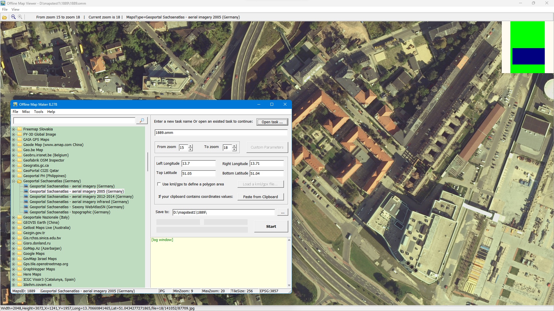 |
| 3 | Geoportal Sachsenatlas - aerial imagery 2012-2014 (Germany) | 1890 | tile format: jpg zoom level:9-20 tile size: 256 |
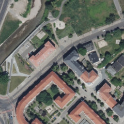 |
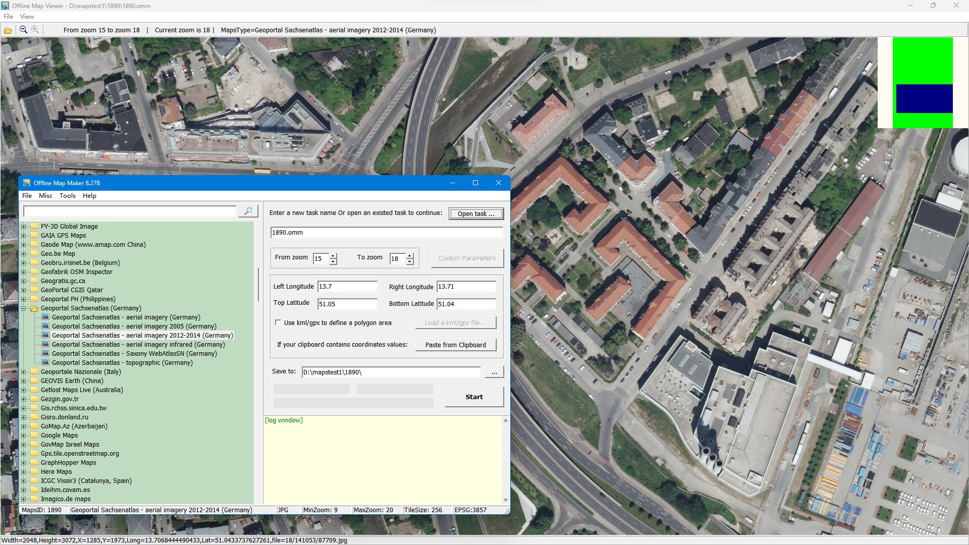 |
| 4 | Geoportal Sachsenatlas - aerial imagery infrared (Germany) | 1892 | tile format: jpg zoom level:9-20 tile size: 256 |
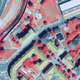 |
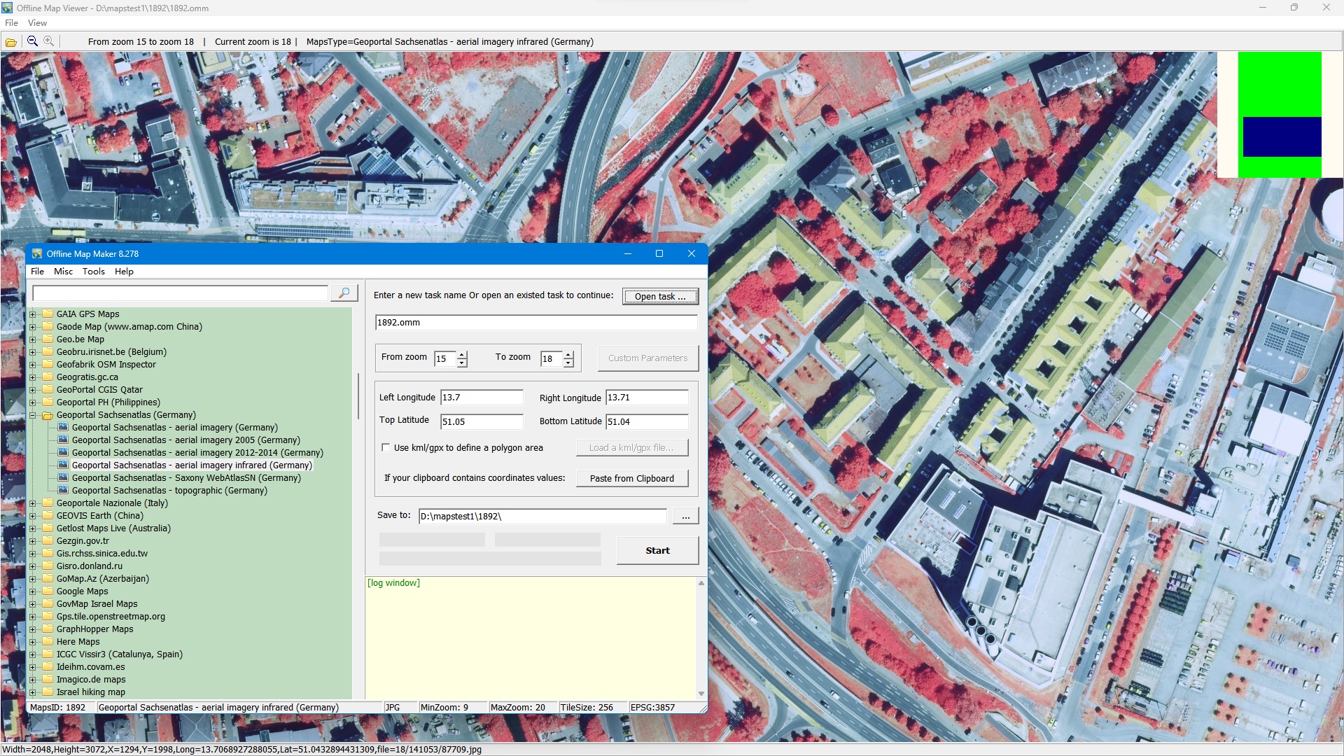 |
| 5 | Geoportal Sachsenatlas - Saxony WebAtlasSN (Germany) | 1893 | tile format: png zoom level:9-20 tile size: 256 |
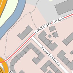 |
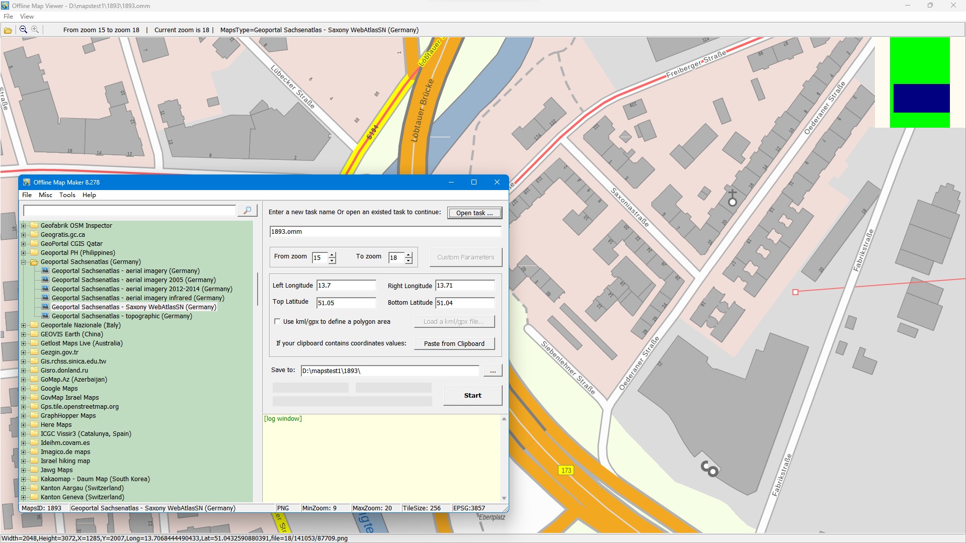 |
| 6 | Geoportal Sachsenatlas - topographic (Germany) | 1891 | tile format: jpg zoom level:9-20 tile size: 256 |
 |
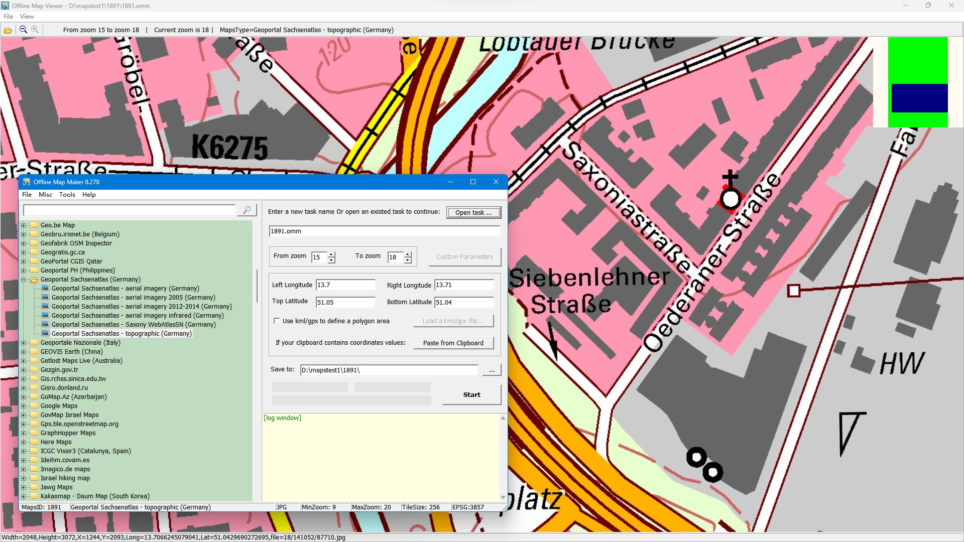 |
一致するマップタイプがありません。より短いキーワードを試すか、リセットしてください。
どの AllMapSoft ツールも数百のマップソースからダウンロードできます。決める前に、完全な索引をご覧いただくか、どのツールがどのソースに対応しているかを比較してください。
これらのソフトウェアはすべてシェアウェアです。どのツールも無料でダウンロードして試用できます。試用版では高解像度の画像をダウンロードできず、ダウンロードできる最大ズームレベルは 13 です。
www.allmapsoft.com からのみご購入ください。当社には販売代理店や再販業者はいません。決済パートナーは SendOwl と FastSpring のみで、当社の代金決済とライセンスの交付を行います。これらは再販業者ではありません。 その他のウェブサイトで購入したライセンスは正規品ではなく、サポート対象外であり、無効化される場合があります。不正な購入による損失について、当社は一切の責任を負いません。